


Meridian Voting District, Thurston County, Washington
About
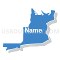
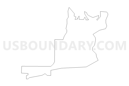
Outline

Summary
| Unique Area Identifier | 689746 |
| Name | Meridian Voting District |
| County | Thurston County |
| State | Washington |
| Area (square miles) | 3.17 |
| Land Area (square miles) | 2.88 |
| Water Area (square miles) | 0.29 |
| % of Land Area | 90.77 |
| % of Water Area | 9.23 |
| Latitude of the Internal Point | 47.08272600 |
| Longtitude of the Internal Point | -122.71595100 |
Maps


Graphs
Select a template below for downloading or customizing gragh for Meridian Voting District, Thurston County, Washington


Neighbors
Neighoring Voting District (by Name) Neighboring Voting District on the Map
- Voting District 02-065, Pierce County, WA
- Voting District 28-470, Pierce County, WA
- Lacey 24 Voting District, Thurston County, WA
- Lacey 42 Voting District, Thurston County, WA
- Lacey 43 Voting District, Thurston County, WA
- Luhr Beach Voting District, Thurston County, WA
- Medicine Creek Voting District, Thurston County, WA
- Pleasant Hill Voting District, Thurston County, WA
- Skokomish Voting District, Thurston County, WA
- Water: Nisqually Reach, Thurston County, WA
- Water: Puget Sound Leg 28, Pierce County, WA
Top 10 Neighboring County Subdivision (by Population) Neighboring County Subdivision on the Map
- Olympia CCD, Thurston County, WA (161,661)
- Olympia East CCD, Thurston County, WA (32,479)
- Fort Lewis-DuPont CCD, Pierce County, WA (24,775)
Top 10 Neighboring Place (by Population) Neighboring Place on the Map
Top 10 Neighboring Unified School District (by Population) Neighboring Unified School District on the Map
- North Thurston Public Schools, WA (94,104)
- Clover Park School District, WA (76,963)
- Steilacoom Historical School District, WA (20,920)
Top 10 Neighboring State Legislative District Lower Chamber (by Population) Neighboring State Legislative District Lower Chamber on the Map
- State House District 2, WA (163,707)
- State House District 22, WA (141,695)
- State House District 28, WA (119,494)
Top 10 Neighboring State Legislative District Upper Chamber (by Population) Neighboring State Legislative District Upper Chamber on the Map
- State Senate District 2, WA (163,707)
- State Senate District 22, WA (141,695)
- State Senate District 28, WA (119,494)
Top 10 Neighboring 111th Congressional District (by Population) Neighboring 111th Congressional District on the Map
Top 10 Neighboring Census Tract (by Population) Neighboring Census Tract on the Map
- Census Tract 728, Pierce County, WA (8,267)
- Census Tract 122.22, Thurston County, WA (7,128)
- Census Tract 123.30, Thurston County, WA (4,246)
- Census Tract 123.20, Thurston County, WA (2,839)
- Census Tract 729.06, Pierce County, WA (1,392)